

14.2 Major Open Spaces
Balanced stewardship
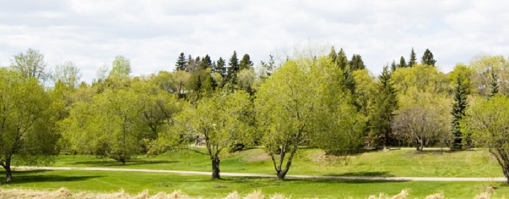
The Major Open Spaces identified on Map 3 are incredible resources that the City and its community partners are fortunate enough to steward. Many of these spaces contain natural features that support ecosystem integrity and resiliency in the face of climate change. Generally, development within environmentally sensitive and flood-prone areas is not suitable, except for low-impact recreation facilities. Balancing the conservation of natural features, the provision of recreational facilities and the management of open spaces is an important consideration as the city grows.
Photo: Yuri Boruchovich
Policies
14.2.1.
Increase public safety and minimize property damage associated with flooding by:
- Updating the Land Use Bylaw to reflect updates to provincial flood hazard mapping, as necessary;
- Limiting construction within the floodway to essential municipal services only;
- Encouraging the relocation of existing buildings and structures to outside the floodway; and
- Where historic development has occurred in the floodway, development proposals may be permitted at the discretion of the City and the Government of Alberta, and subject to satisfactory studies and plans, as required.
14.2.2.
Ensure natural features generally remain in their natural state, while preventing or mitigating loss of integrity or decline in overall health of the area. If municipal infrastructure must cross natural
features, it is to be in the least intrusive manner possible, by minimizing the impact of the crossing.
14.2.3.
Maintain the Major Open Spaces identified in Map 3 by conserving and enhancing natural features and only permitting recreational and cultural uses that do not adversely affect such features.
14.2.4.
Limit public access to natural features, including those within Major Open Spaces, in situations where access poses a threat to public safety or the ecological integrity of the area or both.
14.2.5.
Support appropriate design measures, public education, and restoration activities that enhance the natural environment’s functions and systems.
14.2.6.
Require land dedications, in accordance with applicable Municipal Government Act requirements, that support the development of Red Willow Park West, along Carrot Creek. Lot boundaries must maintain a minimum 50-metre setback from the top-of-bank of Carrot Creek, or as determined through appropriate studies and plans, as deemed satisfactory by the City.
14.2.7.
Evaluate opportunities for land purchases that support park development plans for Red Willow Park West and that enhance recreational opportunities in Major Open Spaces.
- - - - -
Previous:
Development and Major Open Spaces
- - - - -
Next:
Downtown
Related Pages

Last edited: July 12, 2021
