
Urban Structure
“First we shape cities - then they shape us.”
– Jan Gehl, architect and urban designer
St. Albert’s planned urban structure
A city’s urban structure is comprised of the following: major environmental features and open spaces, major roads and other transportation infrastructure, and distinct land use areas. An optimal urban structure considers these elements holistically and in an integrated way to ensure they support and complement one another.
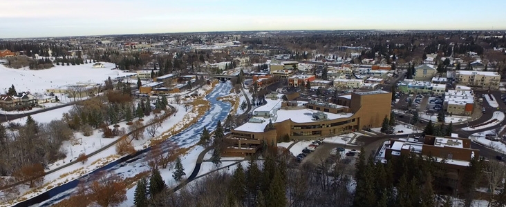
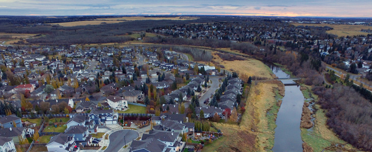
St. Albert’s planned urban structure, identified in Map 3, builds on the existing structure of the city and illustrates an overall vision for the city in terms of land use, gathering places, and major infrastructure. At the centre is the city’s historic downtown, where the Sturgeon River and St. Albert Trail meet. These defining features divide the city into four quadrants made up of mostly residential neighbourhoods. As St. Albert grows, its urban structure will evolve as new Neighbourhoods and Employment Areas are developed. It will also gradually develop to include more mixed-use areas where residential, commercial, and other uses come together to create distinct places, particularly around planned rapid transit stations along St. Albert Trail.
The planned urban structure provides a reference for many of Flourish’s city-wide policies, as well as the land use and development policies in Section 14.
Urban Structure and General Land Use
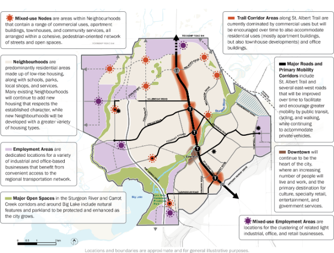
[ Click the map to enlarge ]
View other policy-related mappings in our Maps GalleryRelated Pages
Last edited: November 24, 2022
